Fermer
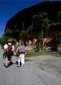
Parcours
À pied
À vélo
Tout
Raquettes
26 parcours
Tous les filtres
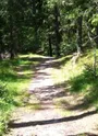
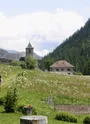
Le chemin des villages
3.20 km · 1 h
Très facile
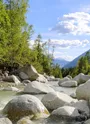
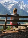
Balade des Sources de l'Arveyron
4.00 km · 1 h
Très facile
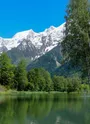
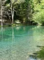
Randonnée vers le Lac Vert
2.40 km · 1 h 35 min
Facile
Tour des Aiguilles Rouges 4 jours
49.4 km · 0
Sentier thématique "Aller à l'Au"
1.20 km · 1 h
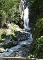
Balade à la Cascade du Dard
6.60 km · 1 h 15 min
Moyenne
Randonnée à Charousse
1.80 km · 2 h
Moyenne
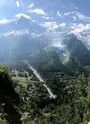
Promenade d'Arve - Les Houches - Chamonix
6.70 km · 2 h
Facile
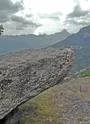
Le Sentier du granit
1.90 km · 1 h 30 min
Facile
Sentier des Gures
2.60 km · 2 h
Facile
Petit Balcon Nord : Argentière - Les Bois
6.00 km · 1 h 45 min
Facile
Itinéraire piéton des Chavants
3.00 km · 40 min
Très facile
Petit Balcon sud : Argentière- Les Tines
3.80 km · 1 h 15 min
Facile
Sentier thématique "Les Croës en forêt"
1.10 km · 45 min
Petit Balcon Sud : Les Tines- Les Bossons
10.1 km · 3 h
Facile
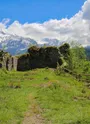
Balade au Château Saint Michel
2.20 km · 2 h
Facile
Le chemin des Diligences
8.60 km · 3 h 30 min
Très facile
Balade de la Moraine d'Argentière
3.00 km · 45 min
Très facile
Petit Balcon Nord : Le Tour - Argentière
3.40 km · 1 h
Facile
Sentier thématique "Un cortil bien sauvage"
1.20 km · 1 h
Sentier des trois gouilles
2.50 km · 2 h
Facile
Sentier thématique "Epilogue à Chamonix"
1.30 km · 1 h
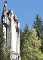
Randonnée à la Statue du Christ-Roi
3.80 km · 1 h 10 min
Facile
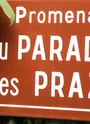
Balade au Paradis des Praz
3.00 km · 1 h
Très facile
Sentier des berges de l'Arve
2.30 km · 1 h 30 min
Très facile
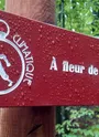
Sentier thématique "A fleur de coteau"
4.20 km · 1 h 45 min
Carte
Effacer
OK
Ville
Ville
Chamonix-Mont-Blanc
Les Houches
Passy
Servoz
Vallorcine
Type de parcours
Tout
Aller simple
Boucle
Dénivelé
Tout
< 200m
Entre 200m et 500m
Entre 500m et 1000m
> 3000m
Durée
Tout
Jusqu'à 1 h
Entre 1h et 2h
Entre 2h et 4h
Difficulté
Tout
Très facile
Facile
Moyenne
Accueil
Parcours
Itinéraire
Explorer