Les Sources de l'Arveyron walk
Chamonix-Mont-Blanc > Chamonix-Mont-Blanc
277 Chemin des Lanchettes
74400 Chamonix-Mont-BlancVia Corda Alpina
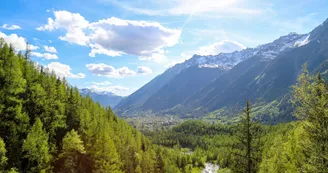
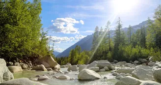
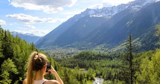
74400 Chamonix-Mont-BlancLeave the village by the chemin de la Source. You will see on the left a rock bearung the inscription "1825" (listed site) which is a reminder of the year when Mer de Glace advanced to its furthest point (site of the grotte d'Arveyron). Follow the right bank of the river through the forets of larch and spruce. At the EDF tramway station, avoid the path on your left which leads to le Chapeau bby Cote du Piget and keep going to your right as far as the rocky viewpoint. Here you can admire the Rocher des Mottets, the Gorges and the Sources de l'Arveyron, which flows out of the snout of the Mer de Glace.
Suggestions: It is possible to walk back to Chamonix via Pierre à Orthaz and the villages of Coverays, la Frasse and Les Mouilles (chemin des Cristalliers) or via Bois de la Bagna and Bois du Bouchet.
Your contact
Office de Tourisme de Chamonix85 place du triangle de l'amitié
74400 Chamonix-Mont-Blanc
Find this route on the Loopi mobile app
Scan the QR code, save it as a favorite, or start the guidance, just enjoy!
Scan the QR code, save it as a favorite, or start the guidance, just enjoy!
This route is provided by: Office de Tourisme de la Vallée de Chamonix-Mont-Blanc
Be cautious and prepared during your outings. Loopi and the author of this sheet cannot be held responsible for any problems that occur on this route.


