Walk linking the Arve river-Les Houches-Chamonix
Les Houches > Chamonix-Mont-Blanc
340 Route de Coupeau
74310 Les Houches12 Route des Pècles
74400 Chamonix-Mont-BlancFrom the train station of Les Houches, join the road of Coupeau and cross the bridge
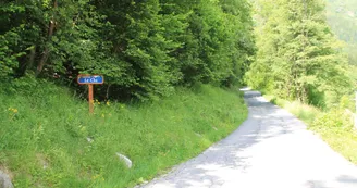
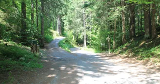
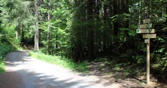
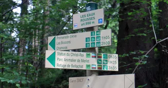
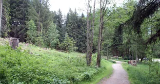
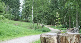
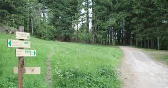
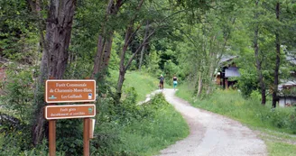
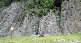
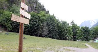
bridge over the railroad. Take the Eaux-Rousses path on the right, until you enter the undergrowth. Continue straight ahead on the path towards Chamonix. Following the Arve river up to the Bossons under the Vouillouds couloir, the forest track crosses the small wood and bypasses the Gaillands by the Promenade à l'Anglais, a place particularly suitable for photography (climbing rocks, lakes, refreshment bar...). Continue along the climbing rock until you reach the route des Pècles, on the left, and follow this road straight ahead to the center of Chamonix. Enter the town via the Lionel Terray traffic circle.
Return by the same route in 2 hours, or by public transport (bus or train).
This walk can be split up thanks to the departures from
the Bossons, Piralotaz and Montquarts bridges.
More information is available at the Tourist Office or the Office de Haute-Montagne and in our trail guide.
Warning: Trail conditions are subject to change, so please check before you leave.
Votre contact
Office de Tourisme de Chamonix85 place du triangle de l'amitié
74400 Chamonix-Mont-Blanc
Retrouvez ce parcours sur l'application mobile Loopi
Scannez le QR code, enregistrez en favoris ou lancez le guidage, il n'y a plus qu'à profiter !
Scannez le QR code, enregistrez en favoris ou lancez le guidage, il n'y a plus qu'à profiter !
Sur l'itinéraire
Ce parcours est proposé par: Office de Tourisme de la Vallée de Chamonix-Mont-Blanc
Soyez prudent et prévoyant lors de vos escapades. Loopi et l'auteur de cette fiche ne pourront pas être tenus responsables en cas de problème survenu sur ce parcours.

